From first geophysical survey to final export logistics — exploration, drilling, geotechnical testing and mine dewatering delivered by one accountable team, nationwide.
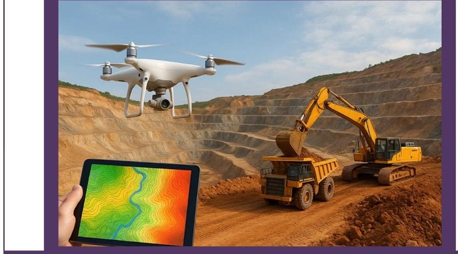 Drone & GIS-based exploration mapping, active pit survey
G&G operates as a single integrated contractor across the discovery-to-production chain — no hand-offs between subcontractors, no gaps in data continuity.
Geological mapping through to reserve estimation, guiding a deposit from prospect to bankable project.
Diamond core and RC drilling — BQ, NQ, HQ diameters to 1,500–2,500 ft, with full core logging.
Leapfrog / Discover 3D geological modeling and geostatistical estimation of mineable reserves.
Hydrogeological surveys and dewatering programs engineered to keep mine sites safe and dry.
In-house and mobile laboratory facility for ore assay, soil mechanics and foundation inputs.
Drone LiDAR, photogrammetry and topographic mapping through exploration and excavation stages.
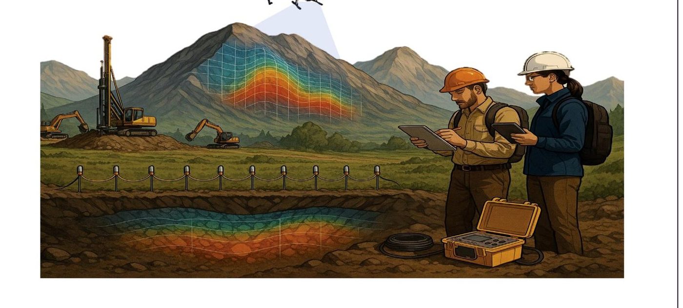
G&G Engineers and Consultant is a professional service provider specialising in mine and mineral exploration and production across Pakistan. We combine advanced geological expertise with practical field operations to support clients from initial survey through to production — mineral exploration, geoscientific investigation, drilling and coring, delivered with modern tools to accurate, cost-effective standards at every stage.
Beyond the field, we run efficient mining logistics — excavation, transport and real-time tracking of materials — so operations move smoothly and securely from site to destination.
More About Us →Every project follows the same disciplined sequence — each stage handed off with complete data, not just a report.
Mapping, rock and geophysical signals identify prospective ground.
Resource estimation, project planning, cost and impact assessment.
Groundwater is managed and removed to keep the site dry and safe.
Roads, tunnels and structures are built to prepare for mining.
Minerals are extracted from the ground during this phase.
Extracted minerals are refined toward an end product.
The finished product is transported and exported to market.
Groundwater exploration, hydrogeology, soil and GIS mapping.
Drilling & CoringDiamond core drilling, tubewells, wireline logging.
0503IP, resistivity, magnetics, gravity, seismic, EM & GPR surveys.
0511 · 0532 · 0536Structural, soil mechanics, foundation and urban design.
Licensed Lab No. 29Ore assay, XRF/XRD, Atterberg limits, compaction testing.
Mine DewateringSite investigation through borehole design and installation.
Highly skilled geologists, mining engineers and environmental experts.
State-of-the-art instrumentation and software for data, modeling and project management.
Environmental and safety commitment prioritised across every project.
We work closely with clients to deliver customised solutions.