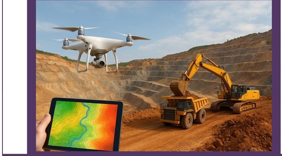
Our own survey fleet — magnetics, gravity, resistivity/IP, seismic, electromagnetics, AMT, GPR and wireline logging — backed by industry-standard modeling software.
A working summary of the geophysical methods we field, matched to what each is best at detecting.
| Technique | Instrumentation | Mode | Depth of Investigation | Target |
|---|---|---|---|---|
| Ground & Aerial Magnetic Survey | Magarrow (aerial), GEM / Geometrics (ground) | 2D profiles, stations | 30–500m | Magnetite, ilmenite, iron/nickel/gold-associated minerals |
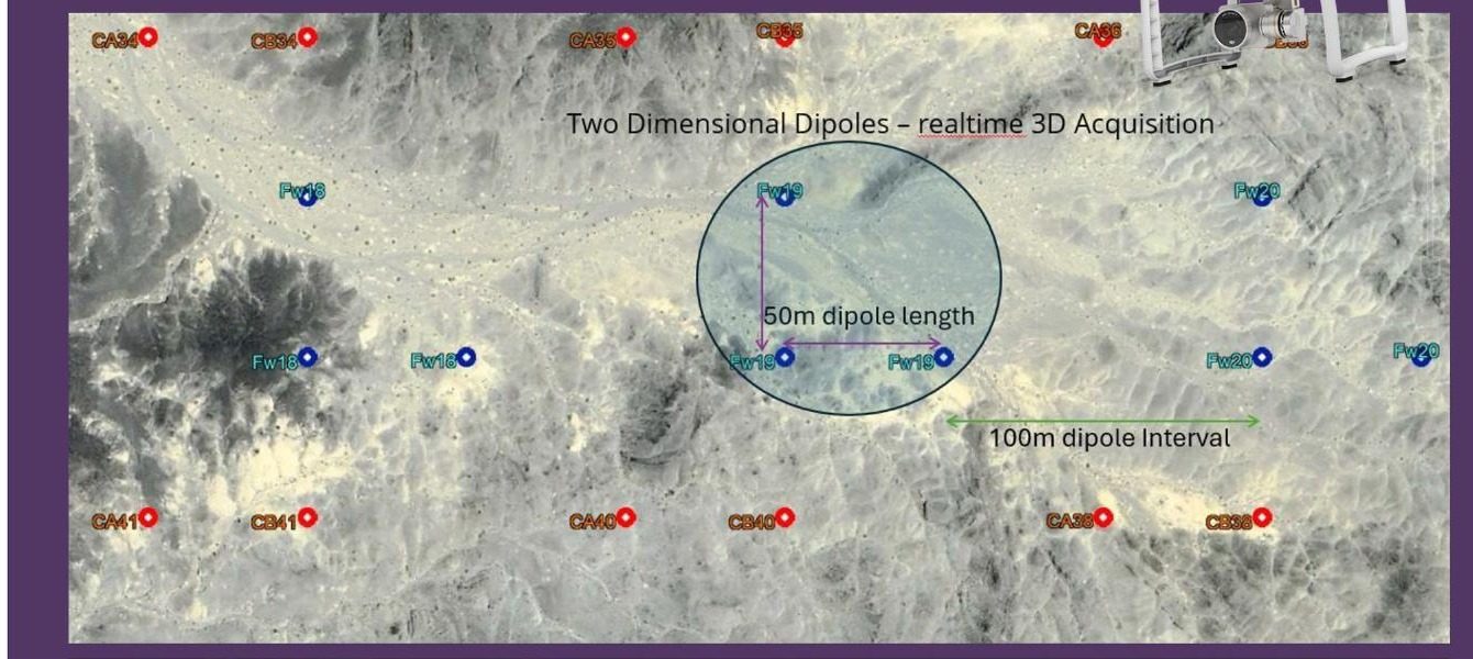
| Induced Polarization Survey | Syscal / AGI, VIP1000 Transmitter | 2D & 3D | Up to 1.5km | Disseminated sulphides — chalcopyrite, pyrite, galena |
| Electromagnetic (FDEM / TDEM) | Geonics, IRIS Promise, Zonge | 2D, induction | 5–800m | Massive sulphides, graphite, saline groundwater |
| Audio Magnetotelluric (AMT) | Geode EM3D, Phoenix / CSAMT | 2D, ambient EM field | Deep (km-scale) | Deep minerals, geothermal, deep geological structure |
| Ground Penetrating Radar | Sensors & Software, PulseEkko | 2D, active radio waves | 20–200m | Conductive/resistive minerals, bauxite |
| Wireline Logging | Robertson Geologging | Downhole | 100–2000m | Porphyry copper, IOCG, nickel sulphide, lithium brine, geothermal |
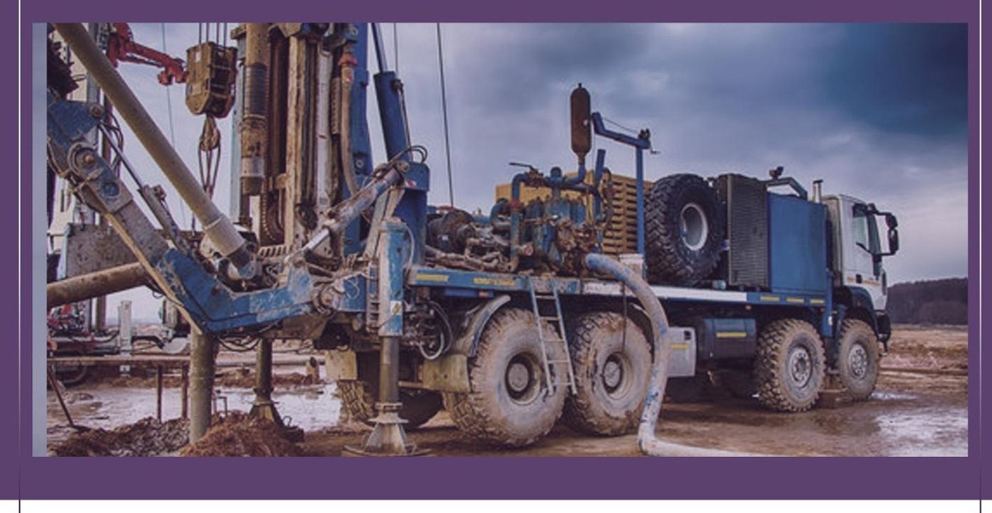
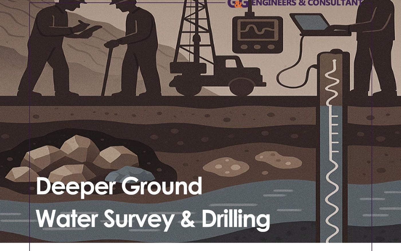
A complete downhole logging toolkit for aquifer classification, flow-zone mapping and geotechnical borehole characterisation.
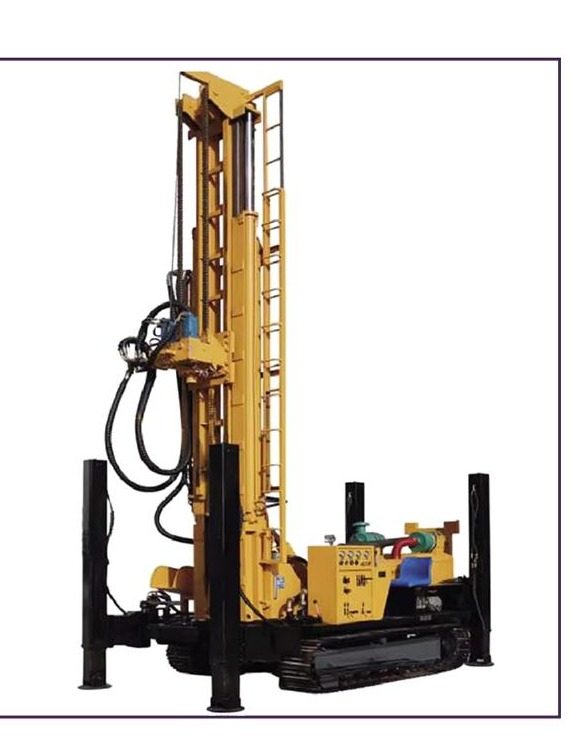
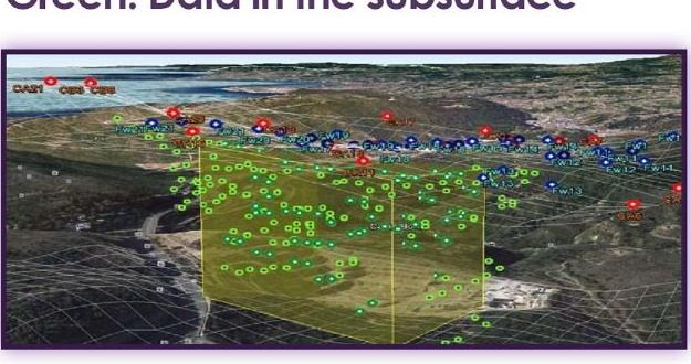
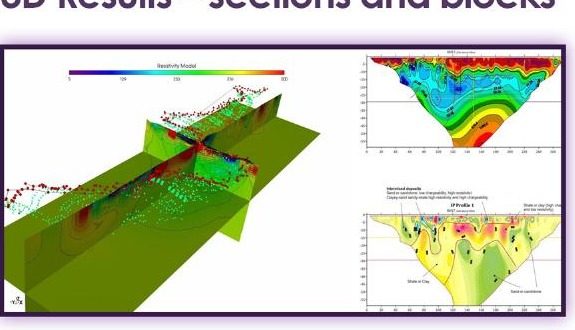
Mineral and geological 3D modeling for reserve estimation.
Customised 3D modeling reviewed through VR headset.
Time & frequency-domain modeling; ground, airborne, fixed and moving loop.
Aarhus Geosoftware inversion suite for TDEM data.